No products in the cart.


Uzaktan Algılama
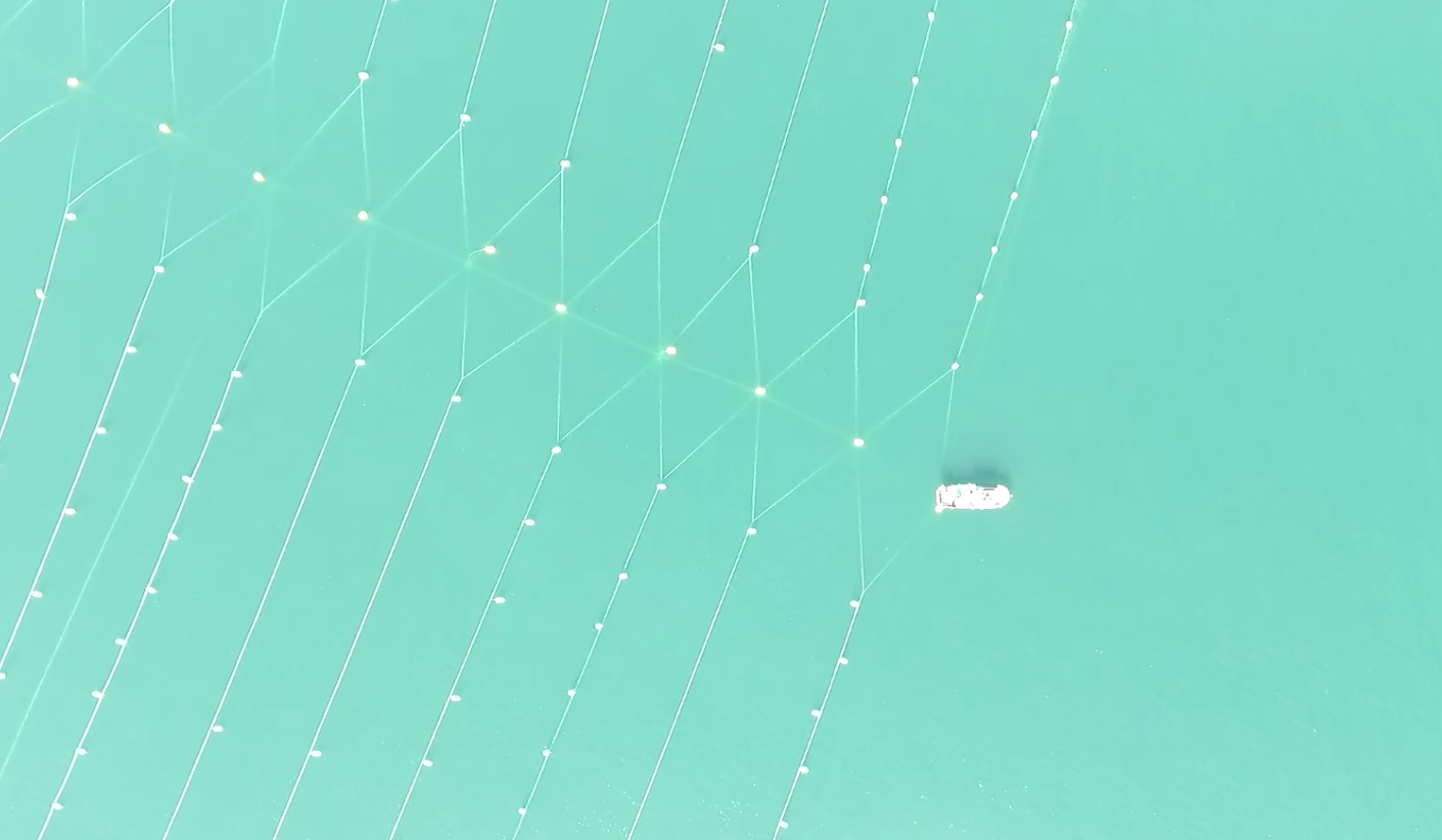
Uydu verileri ile akuakültür alan seçimi
01

Multispectral Tarama
Potansiyel alan içerisinde yüksek çözünürlüklü multispectral tarama ile alan belirleme
02

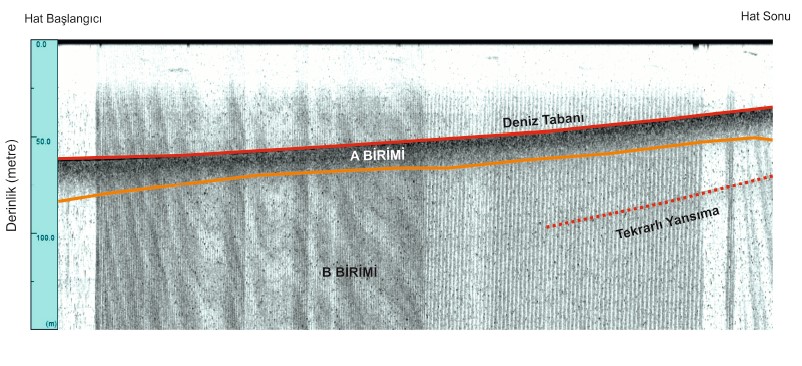
Batimetri
Seçilen alanın sonic yöntemler ile dönümde yüz nokta çözünürlükte batimetri haritasının oluşturulması gerçekleştirilir.
03

Zemin Yüzey Doku Analizi
Zemin yüzeyi doku çalışması yapılarak yüzeyin formu belirlenir ve akuakültür sisteminin zeminle olan uyumu belirlenir.
04
Zemin Doku Analizi
Dönümde 50 noktayla zeminaltı 10 metreye kadar sedimant dokusu analizi ve yüzey dokusu karot alma işlemi gerçekleştirilir.
05
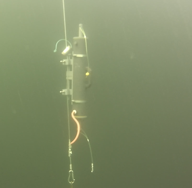
Su Kalitesi Ölçümü
PH, DH, Yoğunluk, Turbidity, Tuzluluk, ORP, Sıcaklık, Akıntı hızı ve derecesi parametrelerinin derinlik bazlı ölçümü
06

Proje Çizimi
Elde edilen veriler ışığında projenin çizilmesi
07

Simülasyon
Elde edilen veriler ve çizilen projenin simülasyona tabi tutulup riskli noktaların tespit edilip, proje revizyonu yapılır.
08
Kamu İzinleri Takibi
Tarım Bakanlığı Ön İzin Belgesi, Özel İdare Kiralama süreci, Yetiştiricilik Belgesi Alımı ve bu süre zarfında talep edilen tüm evrakların temini ve tahsisi tarafımızca yapılır.
09
Proje Uygulama
Oluşturulan proje dosyasındaki malzemelerin ve alınacak hizmetlerin şartname haline getirilmesi ve yapılan satın alımların şartnameye uygunluğunun kontrolü yapılır.
10